
Trace a Parma Street Address
A Parma street directory search works best as a record chain, not as a list of presumed occupants. Start with the exact address in Cuyahoga County MyPlace. Its address result connects a physical location to a permanent parcel identifier and an owner field. That gives the search a durable key before similar street names, unit numbers, or postal labels create a mismatch. The owner field identifies a property-record role. It does not establish who is physically present at the address.
- Choose Parma and the Address mode in MyPlace, then enter the numbered address. Save the situs address and parcel number before moving to another screen.
- Open the result’s General Information or Property Summary Report to note the owner field, transfer tab, and linked map. Use the map only to understand parcels, not to label a household.
- Carry the parcel number, transfer date, party spelling, and document number to the Recorder’s index. Read the document image and legal description before treating a transfer as a sale.
- For a particular named person, use Ohio’s voter lookup with first name, last name, and Cuyahoga County. It is an individual confirmation route, not a public street-browse tool.
- For an older address question, consult a dated criss-cross directory. Record the edition year beside any listed name or telephone entry, then compare it with map, parcel, or deed evidence.
This order keeps each claim narrow. Address leads to parcel, parcel leads to an owner field, recorded documents explain the deed trail, an election record answers a registration question, and a criss-cross volume supplies a historical listing. The county’s map instructions also permit a street-by-street check: find an exact parcel first, then return to results or map view for nearby address context. MyPlace offers downloadable address results, but it remains a county convenience application rather than the controlling record.
MyPlace Fields for Parma Streets
County instructions for MyPlace confirm three search modes: Owner, Parcel, and Address, with an optional City selector that can narrow a search to Parma. Address is the sensible first mode for a street directory question. A selected parcel exposes General Information, Transfers, Values, Land, Building Information, Building Sketch, Other Improvements, Permits, and a Property Summary Report. The page may also lead to Tax By Year and review records. Not every tab answers an address question, so save only the fields that identify the land record.
| MyPlace control | Use for a Parma street search | Result boundary |
|---|---|---|
| City | Choose Parma to narrow a property query. | Optional filter, not a proof of jurisdiction history. |
| Search By | Select Address, Owner, or Parcel. | One mode is chosen for the query. |
| Search text | Enter a street address, owner name, or parcel ID. | Required after the mode is selected. |
| View Map | Open the linked parcel view. | Use parcel boundaries cautiously. |
| Results and tabs | Review the parcel report, transfers, and physical-property tabs. | Each field has its own record purpose. |
The county’s property-search instructions are the source for this Parma street directory screenshot.
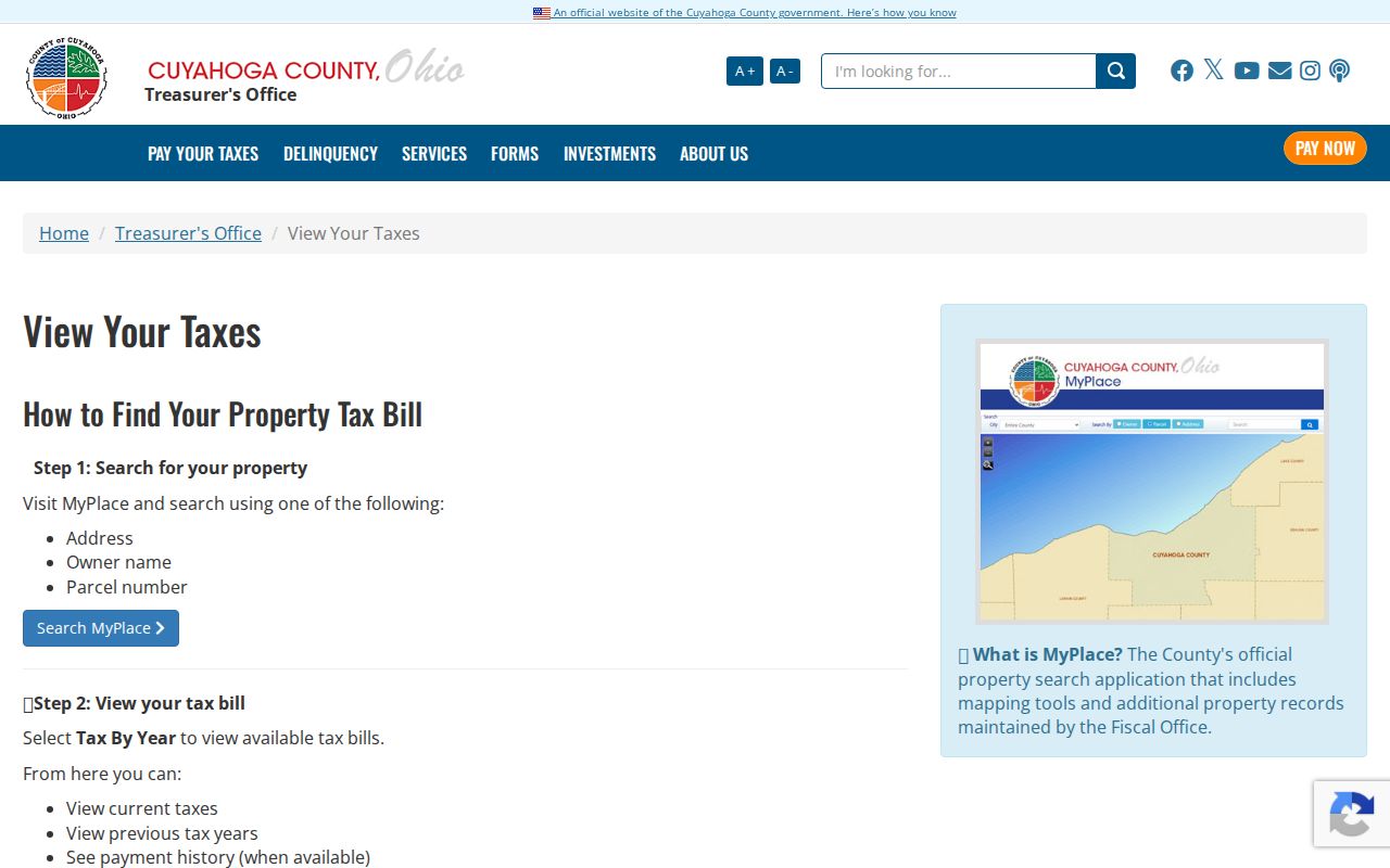
It illustrates the official path to the property application. A result should be read as a starting point for a parcel and record trail, not as a complete description of a current household.
Parma Street Records Compared
Different custodians hold different parts of a Parma address trail. The table separates what an address-keyed source can actually establish from what it cannot. A parcel number and legal description give the strongest bridge across them. A street label alone is weaker because numbers, municipality labels, and lots can change over time.
| Address record | Custodian | What it contributes | Access and limit |
|---|---|---|---|
| MyPlace parcel card | Cuyahoga Fiscal Officer | Parcel, owner field, situs, transfer and property facts. | Search by address, owner, or parcel; county compilation. |
| Recorded document | Transfer and Recording | Parties, recording date, document type, legal or parcel lead. | Official index covers filings from 1810 forward; review the image. |
| Map, tax duplicate, appraisal card | County Archives | Historic lot, owner or taxpayer lead, value, and structure clues. | Appointment-based historical research with record-specific dates. |
| Permit or inspection file | Parma Building Department | Defined project or inspection evidence, if held. | Request by address, permit number, or date. |
| Voter record | Ohio election authorities | A particular person’s allowed registration and precinct information. | Individual lookup, not a street directory browse. |
For current street work, use the property card and Recorder together. For an older building question, County Archives property research adds original map volumes from about 1860 to 1945, tax records about 1819 to 1986, and appraisal cards from about 1935 to 1970. A building outline in an Archives map is evidence that a structure stood there in that map year. It does not identify a person.
Check Parma Voter Records
Ohio My Voter Information is a narrow confirmation channel for a named person. First Name, Last Name, and County are required, and Cuyahoga is the county choice for a Parma registration. The portal can then offer a Street Name field to narrow that individual search. Its published purpose is to check registration and find precinct or polling-location information. Use the result in the form shown by the State and keep it attached to the individual question, not a street-by-street resident claim.
Ohio law permits the public website to display limited registration information, subject to confidentiality rules and exclusions. The underlying system retains more fields than a visitor should expect to see, and protected registrations do not appear as ordinary public results. For an older neighborhood question, County Archives holds Lists of Electors from 1893 to 1982. Request a defined municipality, ward or precinct, date, and name, with the street if known. A formal list has its own date and legal limits; it is not a present-day Parma street directory.
Build Parma Deed Chains
The Cuyahoga Official Records Search offers Quick Search and Advanced Search. Quick Search accepts a grantor or grantee, subdivision, document type, or document number, plus optional recorded-date controls. It also offers Index Only and Index & Full Text (OCR). Index Only searches the recorded index. OCR can help discover words inside document text, but it does not replace reading the original image. Keep dates narrow and preserve the official document number.
From the MyPlace Transfers tab, take each transfer date, party spelling, document number, and parcel or legal-description lead to the Recorder. A transfer may reflect a purchase, but the Map Room notes it can also reflect a name change, an added party, or a transfer-on-death deed. Document type and the actual image provide the context. A deed chain should therefore remain a sequence of recorded transactions, not a claim about every person connected with an address.
The Recorder’s official index is the source for this Parma street directory image.
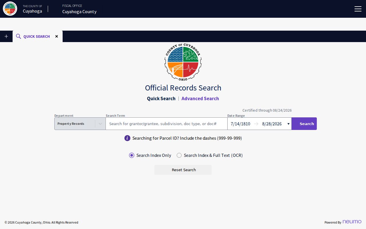
The image reflects a document-search surface. It is useful for locating a filing, while the image and legal description support the recorded-transaction question.
Parma Street Address Meanings
Address fields can look alike while answering different questions. Parma property research should carry the situs address, parcel ID, and legal description together. The Fiscal Office defines the tax mailing address as where a taxpayer receives a bill. It may differ from the physical site. That difference is a reconciliation clue, not evidence of a person’s presence at either location.
- Parcel number
- Cuyahoga’s permanent ID uses an eight-digit
000-00-000form. Its parts identify a map book, page, and map circle. - Situs address
- The physical parcel location used by property search.
- Legal description
- The subdivision, lot, block, or original-lot language that carries the land identity through the record chain.
- Plat
- A recorded map that can show lots, blocks, a subdivision, or parcel geometry.
- Criss-cross directory
- An address-arranged directory that reports a dated listing, rather than a current roster.
The Parcel Map Room can help interpret older ownership questions for approximately 40 to 50 years when supplied with the parcel and legal-description details. Its research role is especially useful when a current street label does not match a prior deed or map reference.
Parma Maps and Permit Records
MyPlace’s documented map route is simple: find a property by address or parcel, choose View Map or Go To Full Map, zoom, and click a parcel for linked information. The county did not document a named radius or buffer tool in the inspected material, so a manual parcel-by-parcel review is the reliable method. A map pin is not a boundary survey. Use the parcel number and the Map Room when a boundary needs confirmation.
Parma’s permit and license application page identifies an online application route, but the research did not locate a public historic results search. For a defined project question, request a record by address, permit number, or date rather than assuming the application portal supplies a full archive. A permit file can describe work or an administrative action. It does not establish resident identity.
Cuyahoga County’s map and digital-imaging information is the source for this parcel-reference image.
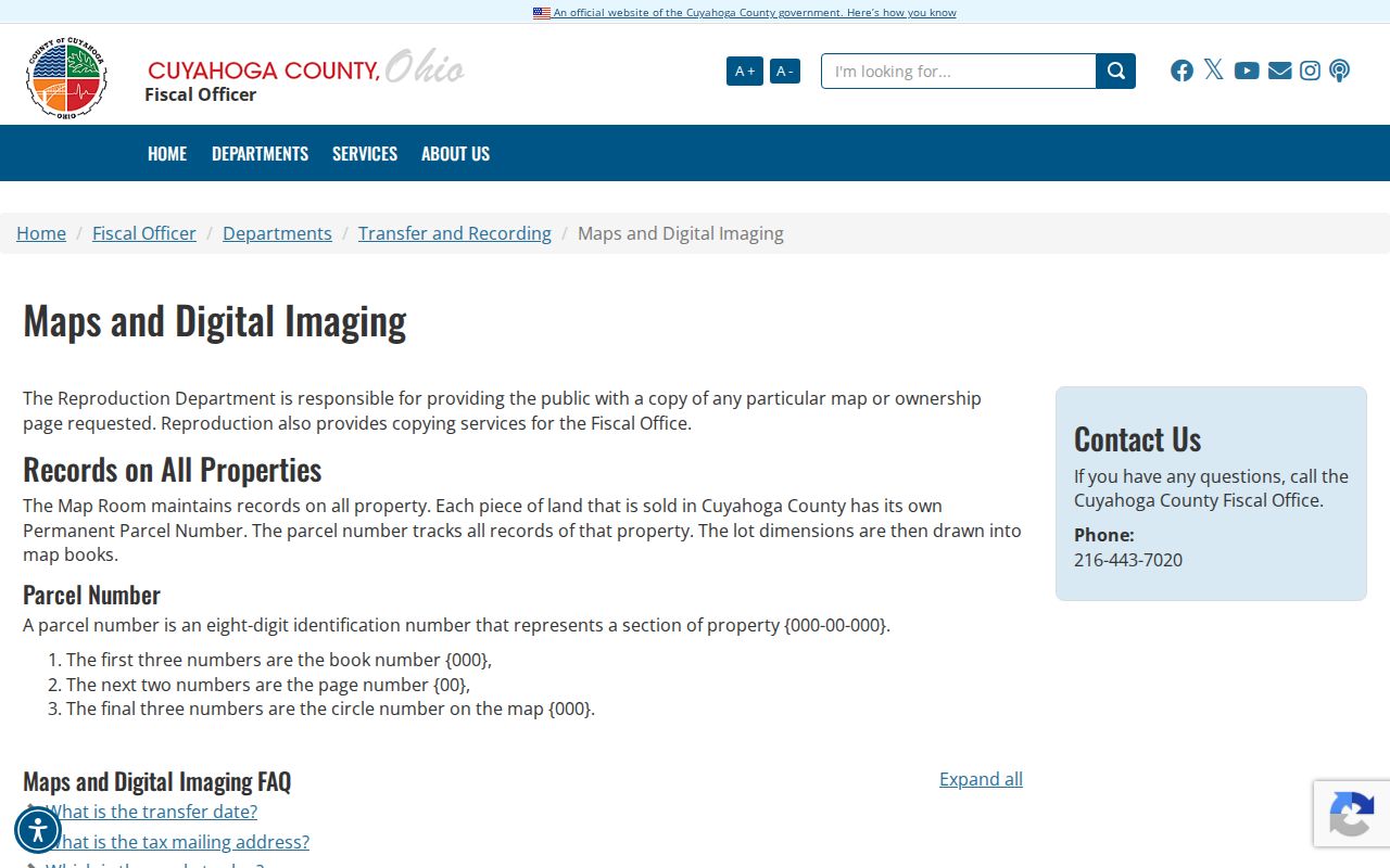
The parcel reference helps retain the stable land identifier when address wording changes between a map, deed, tax record, or permit request.
Historic Parma Street Listings
Cleveland Public Library’s directory guide documents residential and address-arranged criss-cross holdings in print and earlier microfilm. A criss-cross entry can place a listed name and phone number at an address in one edition. It does not prove a present connection, and a missing listing does not prove a person was absent. Mark the edition year, street spelling, house number, and any abbreviation before comparing it with a parcel or recorded document.
The specifically identified Parma run begins with a 1941 volume and includes Cleveland Directory Co. volumes for 1946 through 1963. County Archives also holds Cleveland city directories from 1837 through 1972, though not every year. The sequence is irregular, so do not fill a gap by assumption. For deeper collection details, the Parma city directory page focuses on the historical shelf rather than the current street-record chain.
West 35th Street Searches
Older Parma street research has a specific name variant worth testing. Parma’s official local-history material records that State Road was partly known as West 35th Street in the early 1900s and became State Route 94 in 1957. Search both wordings with the house number, map year, parcel, and legal description. This reduces false matches when a directory, atlas, or recorded filing uses an older label.
Historic jurisdiction labels matter too. Parma began as part of Parma Township, Parma Heights separated in 1911, and Parma became a village in 1924 and a city in 1931. A nearby record may therefore carry a township, village, city, or Parma Heights label. The older designation is a search term, not a reason to merge separate properties.
Parma Street Results Have Limits
A public property record can show land-record fields, and a historical directory can show a dated entry. Neither is a complete statement of who lives at an address now. Ohio’s voter lookup is intentionally individual-centered and protects confidential registrations. Safe at Home can provide eligible participants a substitute mailing address. A nonmatch can reflect a protected record, a sealed file, a redaction, or an index gap. It is not a lead to pursue through nonpublic sources.
The federal Driver’s Privacy Protection Act restricts motor-vehicle personal information, so it is not an address-reconstruction fallback. Records offices must also redact fields protected by law. If a county parcel, Recorder filing, court item, or voter field looks wrong, direct the narrow correction question to the office that maintains that field. Preserve the record identifier and the reason for the correction rather than republishing extra personal details.
Lawful personal use. Use Parma street records for a defined personal or historical question and the least detail needed. Ohio law prohibits menacing by stalking under ORC 2903.211 and telecommunications harassment under ORC 2917.21; do not use any record to stalk, harass, threaten, or harm a person.